
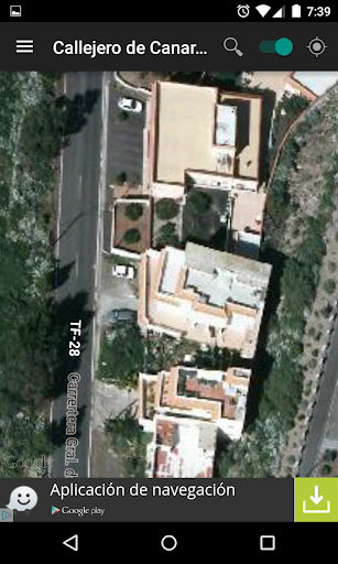
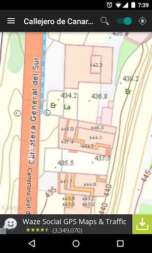
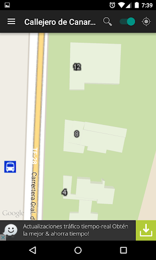
Features Street map of Canary Islands
This application queries the complimentary IDECanarias searches.Excerpted from the http://www.idecan.grafcan.es web:"""The Spatial Data Infrastructure of Canary Islands (IDECanarias) provides users all the geographic information produced by Canary Government through its WMS Viewer and the standard services, which are defined according to OGC specifications.This public services guarantee interoperability of Canary Islands geographic information, and their effective inclusion into the Spatial Data Infrastructure of Spain.
Furthermore, they meet with the requirements of Europen Directive 2007/2/CE, which is called INSPIRE and is ruled by European Parliament and Council.
This directive establishes that a spatial infrastructure must contain metadata, sets of spatial data and data spatial services; services and network technologies; rules and regulations about sharing, accesing and using data; and the monitoring and coordinating processes that are set in order to follow the directive itself."""
Social Features
Connect and share with friends and the community.
Productivity Tools
Boost your productivity with powerful tools and features.
Smart Home
Control and monitor your home with smart features.
See the Street map of Canary Islands in Action
Get the App Today
Available for Android 8.0 and above